| dc.contributor.author | He, Hongjie | |
| dc.date.accessioned | 2023-08-21 20:00:46 (GMT) | |
| dc.date.available | 2023-08-21 20:00:46 (GMT) | |
| dc.date.issued | 2023-08-21 | |
| dc.date.submitted | 2023-08-02 | |
| dc.identifier.uri | http://hdl.handle.net/10012/19735 | |
| dc.description.abstract | High-definition (HD) maps of building rooftops or footprints are important for urban application and disaster management. Rapid creation of such HD maps through rooftop delineation at the city scale using high-resolution satellite and aerial images with deep leaning methods has become feasible and draw much attention. In the context of rooftop delineation, the end-to-end Deep Convolutional Neural Networks (DCNNs) have demonstrated remarkable performance in accurately delineating rooftops from aerial imagery. However, several challenges still exist in this task, which are addressed in this thesis. These challenges include: (1) the generalization issues of models when test data differ from training data, (2) the scale-variance issues in rooftop delineation, and (3) the high cost of annotating accurate rooftop boundaries.
To address the challenges mentioned above, this thesis proposes three novel deep learning-based methods. Firstly, a super-resolution network named Momentum and Spatial-Channel Attention Residual Feature Aggregation Network (MSCA-RFANet) is proposed to tackle the generalization issue. The proposed super-resolution network shows better performance compared to its baseline and other state-of-the-art methods. In addition, data composition with MSCA-RFANet shows high performance on dealing with the generalization issues. Secondly, an end-to-end rooftop delineation network named Higher Resolution Network with Dynamic Scale Training (HigherNet-DST) is developed to mitigate the scale-variance issue. The experimental results on publicly available building datasets demonstrate that HigherNet-DST achieves competitive performance in rooftop delineation, particularly excelling in accurately delineating small buildings. Lastly, a weakly supervised deep learning network named Box2Boundary is developed to reduce the annotation cost. The experimental results show that Box2Boundary with post processing is effective in dealing with the cost annotation issues with decent performance. Consequently, the research with these three sub-topics and the three resulting papers are thought to hold potential implications for various practical applications. | en |
| dc.language.iso | en | en |
| dc.publisher | University of Waterloo | en |
| dc.subject | dynamic scale training | en |
| dc.subject | weakly supervised learning | en |
| dc.subject | rooftop delineation | en |
| dc.subject | aerial imagery | en |
| dc.subject | deep learning | en |
| dc.subject | single-image super-resolution | en |
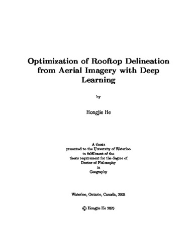
| dc.title | Optimization of Rooftop Delineation from Aerial Imagery with Deep Learning | en |
| dc.type | Doctoral Thesis | en |
| dc.pending | false | |
| uws-etd.degree.department | Geography and Environmental Management | en |
| uws-etd.degree.discipline | Geography | en |
| uws-etd.degree.grantor | University of Waterloo | en |
| uws-etd.degree | Doctor of Philosophy | en |
| uws-etd.embargo.terms | 0 | en |
| uws.contributor.advisor | Jonathan, Li | |
| uws.contributor.affiliation1 | Faculty of Environment | en |
| uws.published.city | Waterloo | en |
| uws.published.country | Canada | en |
| uws.published.province | Ontario | en |
| uws.typeOfResource | Text | en |
| uws.peerReviewStatus | Unreviewed | en |
| uws.scholarLevel | Graduate | en |

